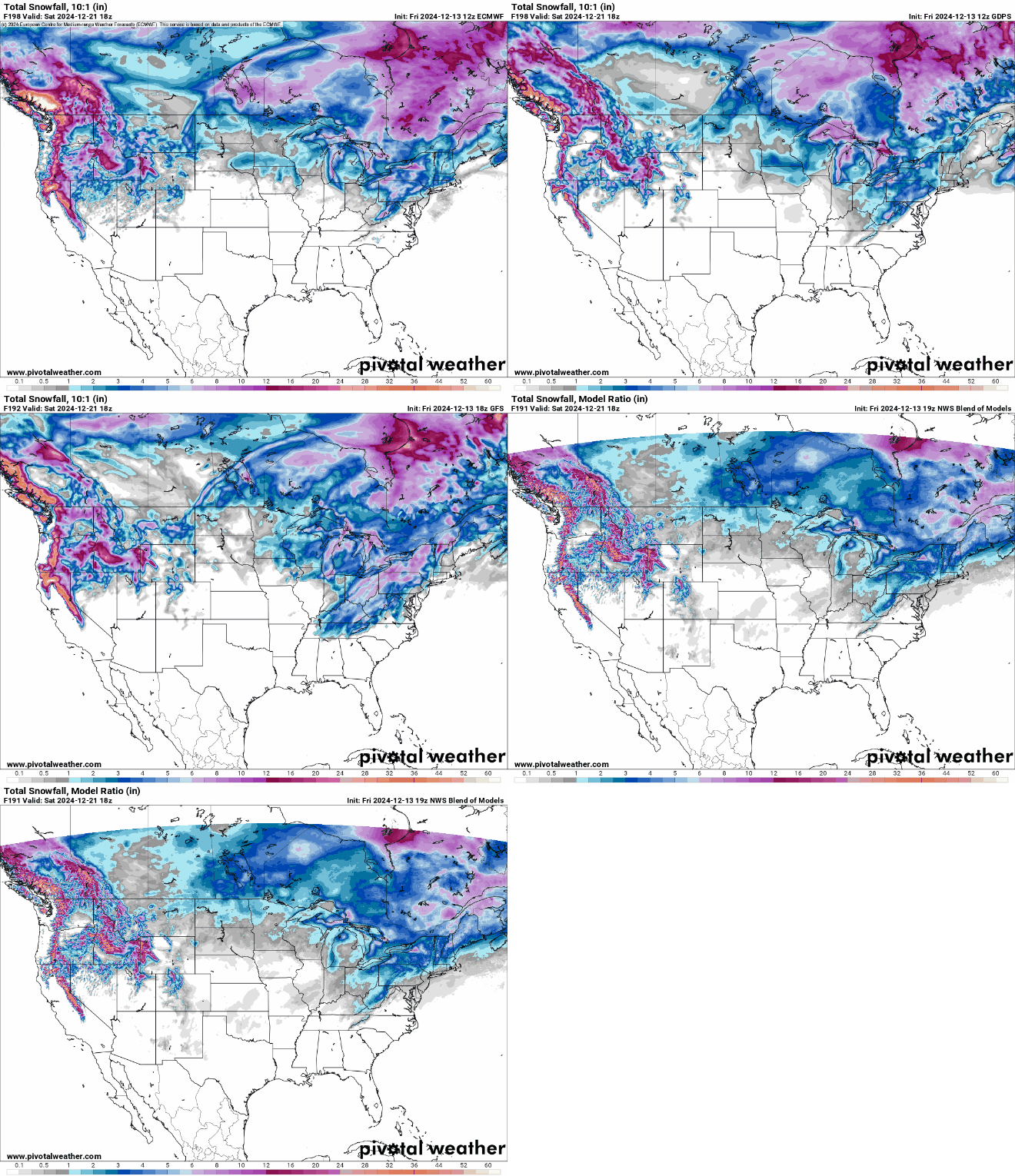
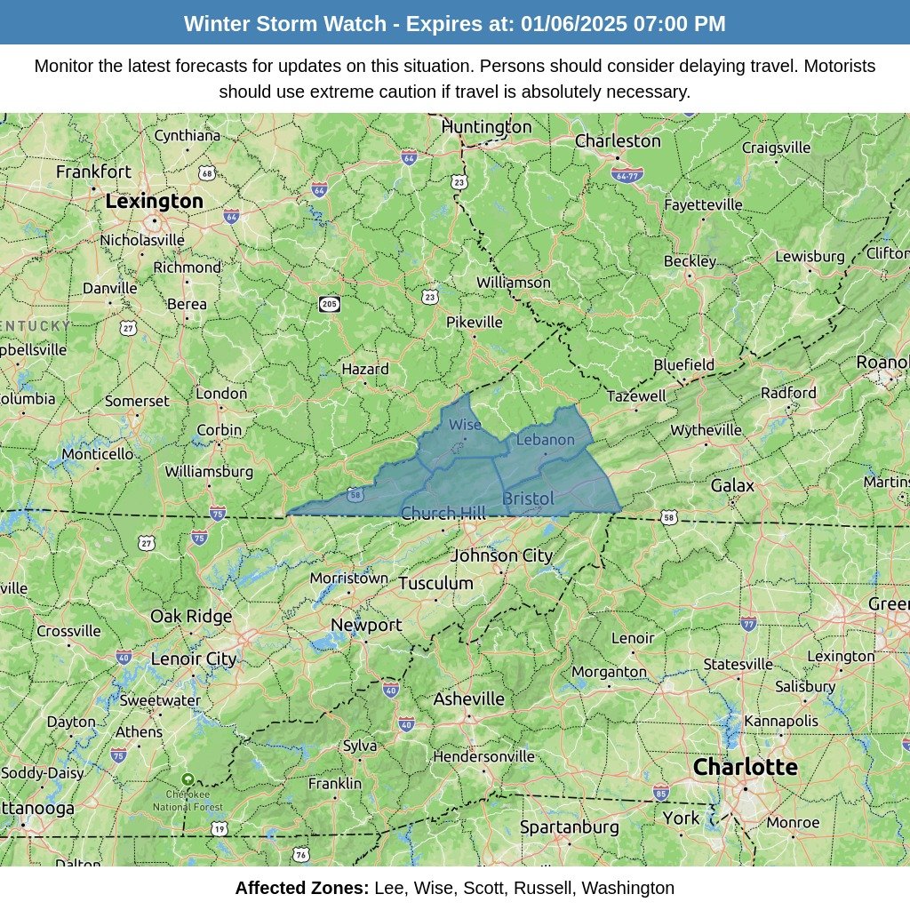
Forecast models, including the GFS and Euro, are signaling the potential for a winter weather event late next week, most likely around Thursday. While there is still uncertainty regarding temperatures and the timing of precipitation type changes, we are closely monitoring the situation as it develops.
This weather event is expected to follow the passage of a cold front, which will play a critical role in determining precipitation type and accumulation. Current guidance from the National Blend of Models (NBM) indicates a 60% to 80% probability of a cumulative total of 0.5 inches of liquid-equivalent precipitation (QPF) across the region during this time period. The likelihood of reaching 1 inch of QPF is notably lower, with probabilities ranging from 25% to 50%.
What This Means:
- Timing: Potential impacts could begin as early as Thursday and continue into the following day.
- Precipitation Types: Precipitation could initially fall as rain but may transition to a wintry mix or snow, depending on the timing of the cold air arrival.
- Accumulation: While exact snow and ice totals are still uncertain, the NBM probabilities highlight a moderate chance for precipitation amounts.
What to Do:
Review winter weather safety plans, especially if you have travel plans later in the week.
Stay informed by monitoring updated forecasts as details become clearer.
Be prepared for potential travel disruptions if snow, sleet, or freezing rain develops.


