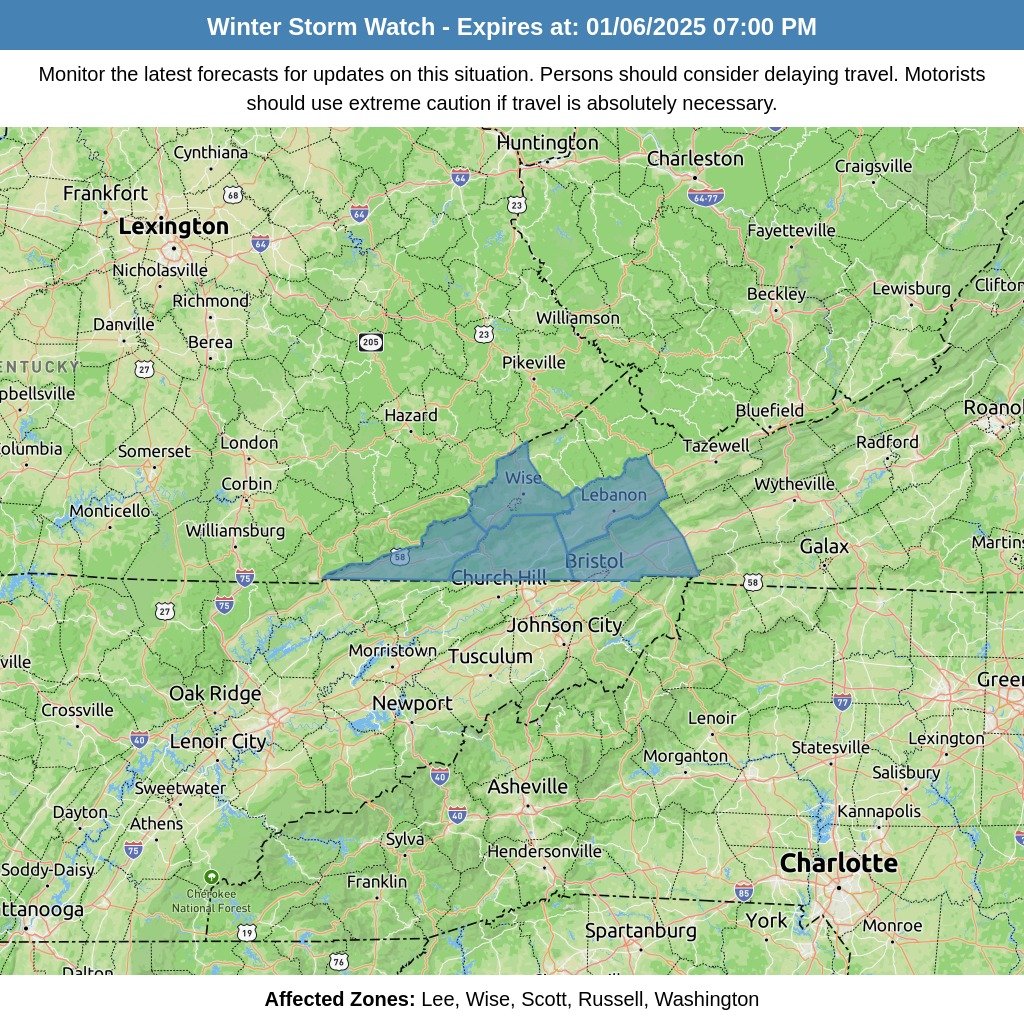
Eyes are on Sunday night into Monday as we track a potentially significant winter weather event that could impact much of the region. The system’s exact effects will depend heavily on the path of a low-pressure system moving through the area. Here’s a breakdown of what we know and the possible scenarios:
The Scenarios:
- Northern Track – Rain for Most, Snow in the Mountains
If the low-pressure system tracks further north, much of the area will experience rain and warmer temperatures. Snowfall would be limited to the higher elevations of the mountains. - Southern Track – A Winter Mix of Sleet and Freezing Rain
A slightly southern track would bring colder air into the region, resulting in a messy mix of sleet and freezing rain for much of the area. This scenario could lead to significant ice accumulation. - Current Forecast – A Mix of Everything
If the low-pressure system stays on its current forecasted path, the region could see a sampling of every type of winter precipitation, including sleet, freezing rain, snow, and rain.
What the Models Are Showing:
The latest guidance from the NWS Blend of Models paints a varied picture:
- Northern Counties: Likely to see mostly snow, with some ice mixed in.
- Central Valley: This area looks to be the “battle zone,” where rain, snow, sleet, and ice are all possible, depending on how the system develops.
Trends in the most recent model runs have leaned toward the second scenario—a southern track leading to a wintry mess—but significant uncertainty remains.
Timing and Concerns:
As we move into the 5-7 day forecast window, this system warrants close monitoring. However, given the variability in the models, it’s possible this could evolve into a “now-casting” situation, where real-time updates will be essential as the event unfolds.
The potential for hazardous travel conditions, particularly in areas dealing with sleet and freezing rain, is a growing concern. You should begin preparing for the possibility of impactful winter weather and stay tuned for updated forecasts.
What’s Next?
We’ll continue to track this system and provide regular updates as new information becomes available. With so much uncertainty still in play, flexibility and preparation will be key.


