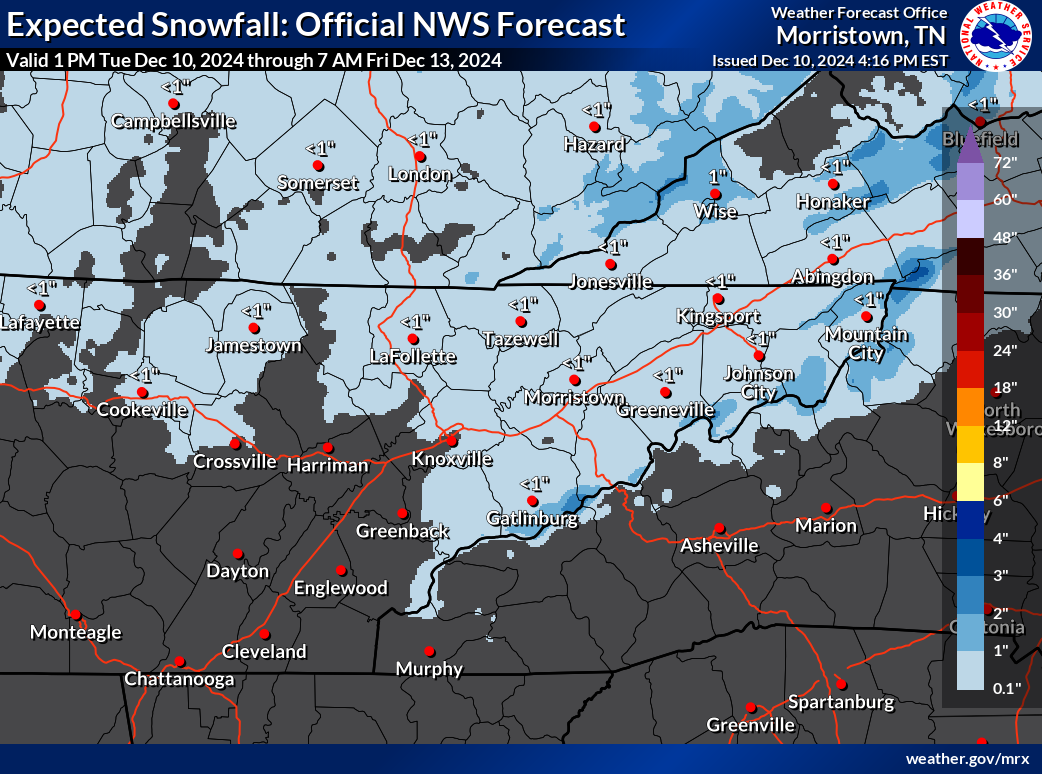
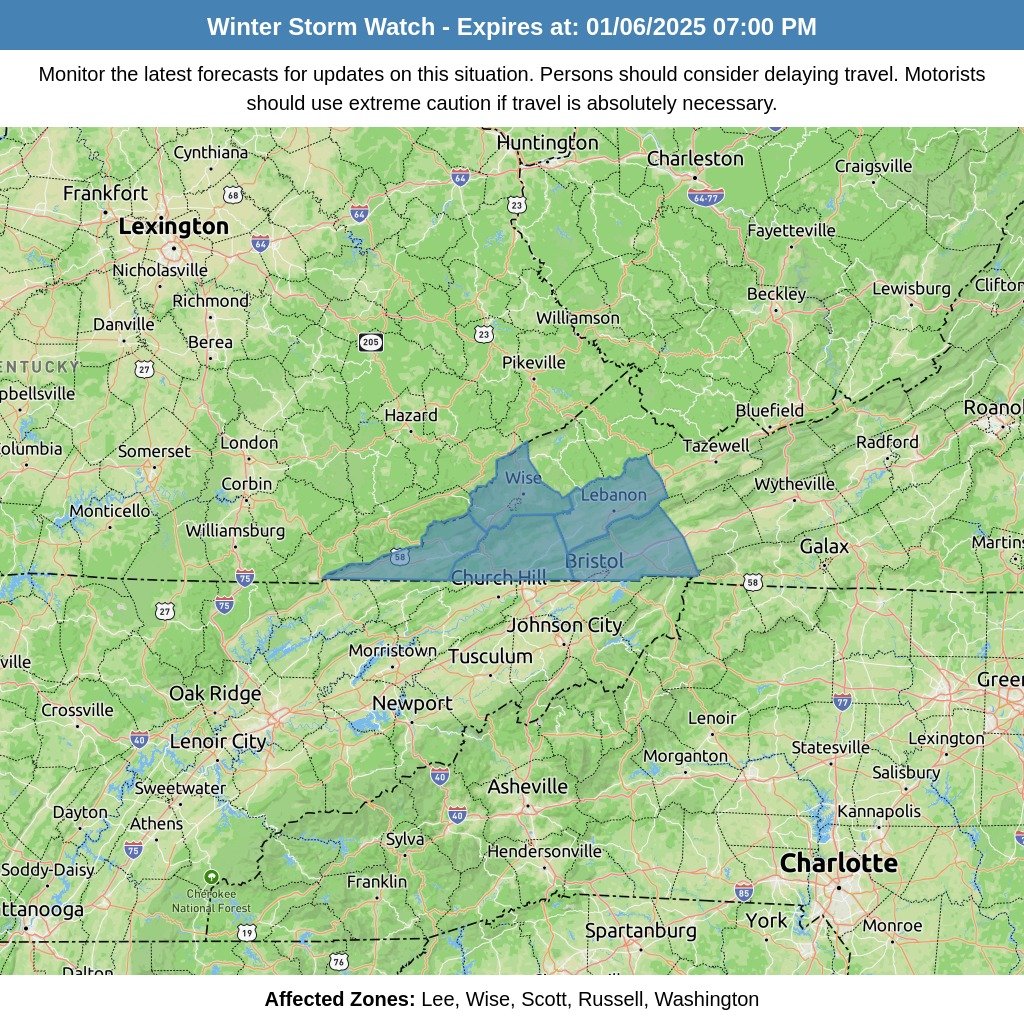
Those along and north of Interstate 40 will see a shift in weather conditions on Wednesday morning as rain transitions to light snow. Due to warm ground temperatures and marginally cold air, snowfall accumulation is expected to be minimal, generally around 1/2 inch or less. The snow will primarily accumulate on grassy and elevated surfaces. However, higher elevations at or above 3,000 feet may see more significant snowfall, with accumulations of 1 to 2 inches possible. While most roadways will remain clear, slushy accumulations may impact travel in higher terrain areas.
Temperature Changes and Travel Precautions
Temperatures on Wednesday will start with early-morning highs before dropping into the 30s, with some mountain regions experiencing temperatures in the 20s. Those planning to travel through higher elevations should be prepared for possible slushy snow accumulations on roadways. The snowfall is expected to taper off by early afternoon, but temperatures will remain chilly for the remainder of the day.
Precipitation Changes and Snow Development
High-resolution ensemble forecasts are predicting light snow development over the northern Plateau just before sunrise. The rain/snow line is expected to shift eastward throughout Wednesday morning. Due to marginal boundary temperatures and relatively warm ground conditions, snow accumulation will primarily affect grassy and elevated surfaces. The higher elevations, especially those above 3,000 feet, may see snow accumulations of 1 to 2 inches. Roadway impacts are expected to be minimal, confined mostly to higher elevations.
Clearing Conditions and Cooler Temperatures
Drier air will begin to filter into the region Wednesday afternoon, leading to the end of precipitation as upper-level forcing moves eastward. Daytime temperatures will remain cool, with most areas seeing colder temperatures following the morning highs.
Looking Ahead: Potential for Additional Snow Showers
On Wednesday night, a weak weather system is expected to move into the Tennessee Valley and the Appalachian region. However, the available moisture and dynamics for this system are limited, meaning only minor snow showers are possible for higher elevations. No significant impacts are anticipated.


