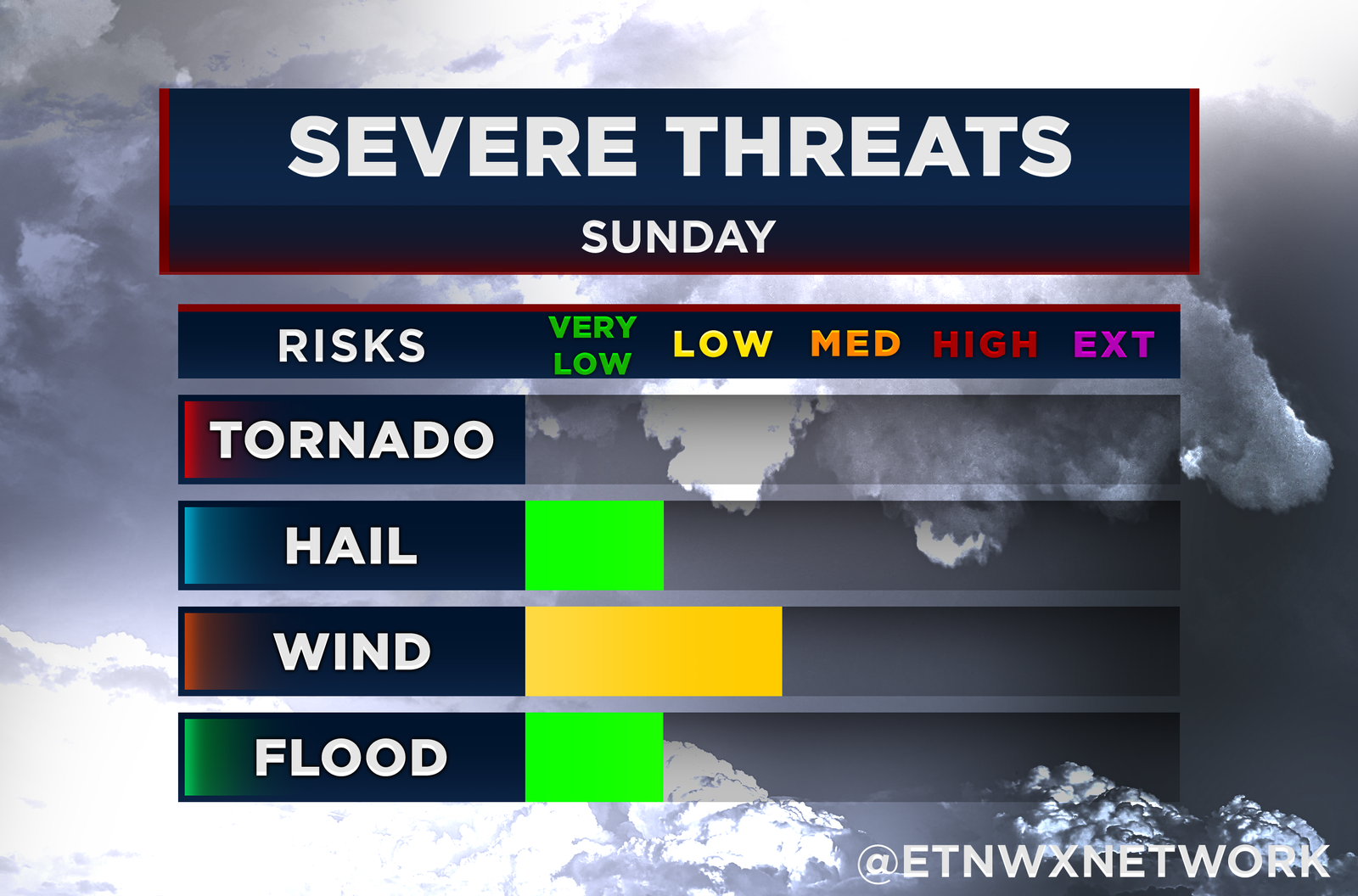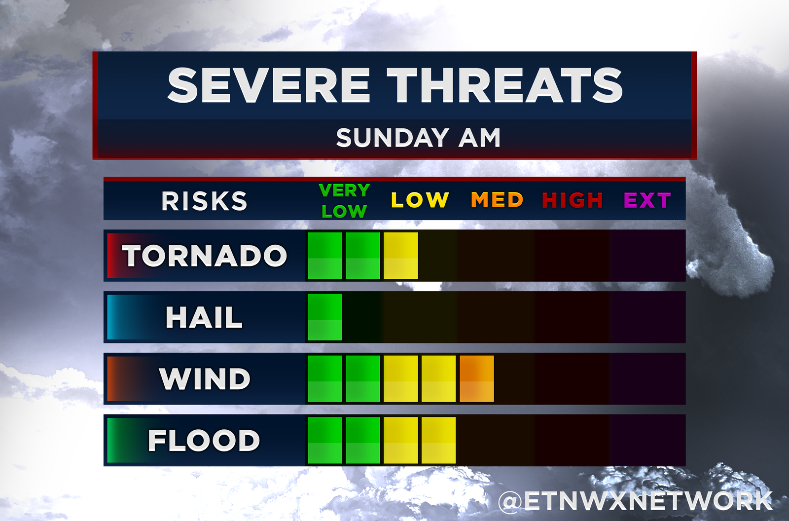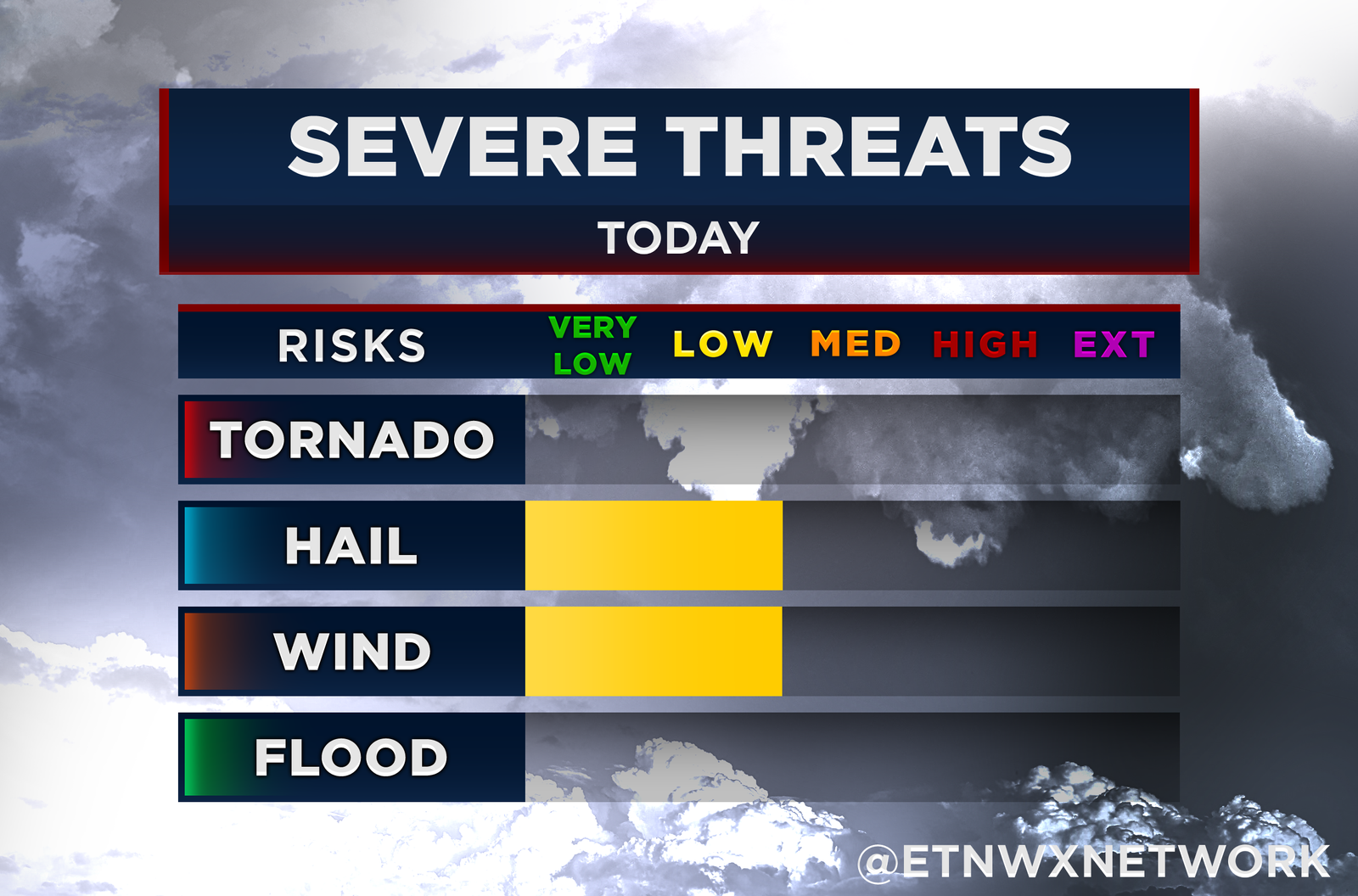
We could see a round of severe weather this Sunday as a cold front pushes through the region, bringing the risk of damaging winds and isolated hail. A large mid/upper-level trough will continue to strengthen over the eastern U.S., setting the stage for thunderstorm development across the Ohio and Tennessee Valleys.
What to Expect:
A surface low-pressure system is expected to move eastward from Indiana/Ohio into Pennsylvania throughout the day Sunday, dragging a cold front across Tennessee. As the day progresses, isolated thunderstorms may develop during the afternoon, with storm activity potentially increasing into the evening as the front nears our area.
Storm Timing:
The most likely time for storms to develop will be in the late afternoon and evening. This is when the atmosphere will experience its strongest lift due to the shortwave trough moving through the region.
Threats:
- Damaging Winds: Winds in the mid-levels of the atmosphere (around 30-50 knots, or 35-60 mph) will create the potential for damaging gusts with stronger thunderstorms.
- Hail: Steepening lapse rates in the atmosphere could support hail formation, especially if forecasted instability levels (500-1000 J/kg of CAPE) are reached.
- Heavy Rain: Some storms may also bring brief periods of heavy rain, though widespread flooding is not currently anticipated.
Areas of Concern:
The greatest risk for severe weather will be across the plateau into Southwest VA and Tri-Cities.
Stay Weather Aware:
Although storm development may be isolated, the potential for damaging winds and hail makes it important to stay informed. Keep an eye on weather alerts throughout the day, and be prepared to take action if warnings are issued for your area.

