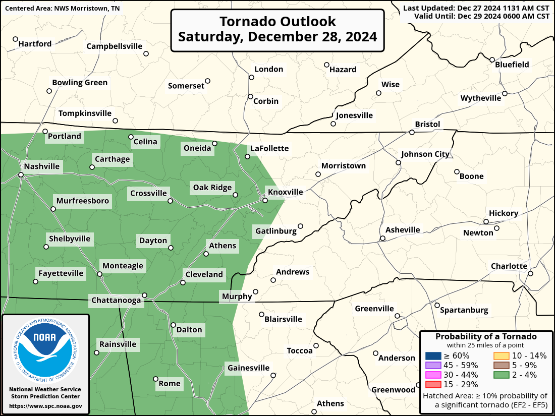
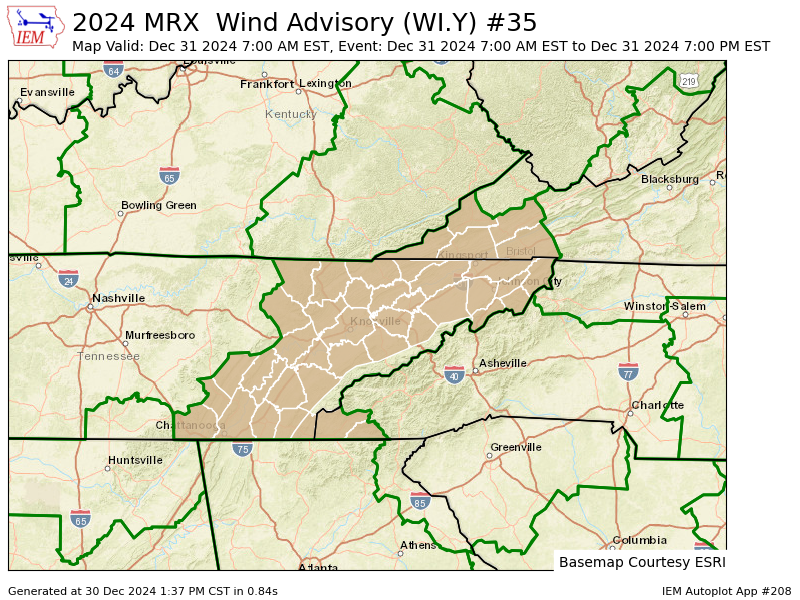
East Tennessee should look out for the possibility of strong to severe storms late Saturday night into early Sunday morning. While the highest risk is concentrated in the southernmost counties near the Georgia state line—including southeastern Tennessee (SE TN) and southwestern North Carolina (SW NC)—the threat extends to the entire region, including Knoxville and Tri-Cities.
Key Threats
- Damaging Winds & Tornadoes: Areas along the Georgia state line face the greatest risk for damaging winds and a potential QLCS (quasi-linear convective system) tornado. However, all of East Tennessee remains under a lower but notable risk.
- Localized Flooding: While overall flood risks are low, flood-prone areas could experience localized impacts due to heavy rainfall. Fortunately, the quick movement of the storm system is expected to prevent prolonged rain or significant flooding.
Atmospheric Setup (Nerdy Stuff)
A robust low-pressure system will move across the Ohio River Valley into the Great Lakes, driving a strong cold front eastward. High-energy atmospheric conditions, including intense southerly winds and elevated storm fuel (SBCAPE), increase the potential for severe weather. NAEFS data highlights wind speeds in the 99th percentile at key mid-level altitudes, while HREF probabilities show over a 90% chance of SBCAPE exceeding 500 J/Kg combined with effective wind shear over 40 knots in the most vulnerable southern counties.
Timing of Storms
Here’s a timeline for when to expect the strongest storms:
- Crossville: 2:30–4:00 AM CT
- Knoxville: 3:15–4:30 AM ET
- Tri-Cities Metro: 5:00–6:45 AM ET
Why You Should Stay Alert
While southern counties such as those around Chattanooga will see the most favorable conditions for severe weather, the potential for damaging winds, heavy rain, and even isolated tornadoes is not confined to this area. Those throughout East Tennessee, from Knoxville to the Tri-Cities, should remain vigilant. The widespread nature of this weather system means no part of the region is entirely safe from potential impacts.
Prepare Now
- Secure loose outdoor items to prevent wind damage.
- Have a reliable way to receive weather alerts, such as a NOAA weather radio or smartphone app.
- Plan for power outages, especially in areas prone to wind damage.
- Stay tuned to local meteorologists and emergency management for updates.
A QLCS tornado is a type of tornado that forms within a Quasi-Linear Convective System (QLCS)—a fast-moving line of thunderstorms. These tornadoes develop rapidly and are often short-lived, but they can still cause significant damage. Unlike the more well-known supercell tornadoes, which form in isolated, rotating storms, QLCS tornadoes are embedded within a line of storms and are often harder to detect in advance.
QLCS tornadoes are driven by strong wind shear (changes in wind speed and direction with height) rather than the intense atmospheric instability associated with supercells. This setup makes them more common during high-shear, low-instability weather events, like the one expected across East Tennessee this weekend.
While these tornadoes tend to be brief, they can form quickly and may give little warning. This is why it’s critical for everyone in the storm’s path to remain alert, even if the risk of a tornado appears low.


