Sorting by

×
Headlines

Potential Winter Storm to Hit the Mountains; Valley Snow Possible Midweek

A low-pressure system is forecasted to develop and move northward this week, bringing the coldest temperatures we’ve faced since last winter, coupled with abundant moisture. The impact is expected to be felt from Wednesday through the weekend, with potentially significant snow accumulation in the mountains and some snow activity in the valley regions. Cold Temperatures…
Read More

Potential Weather Pattern Shift Expected Mid-to-Late November: What We Know So Far

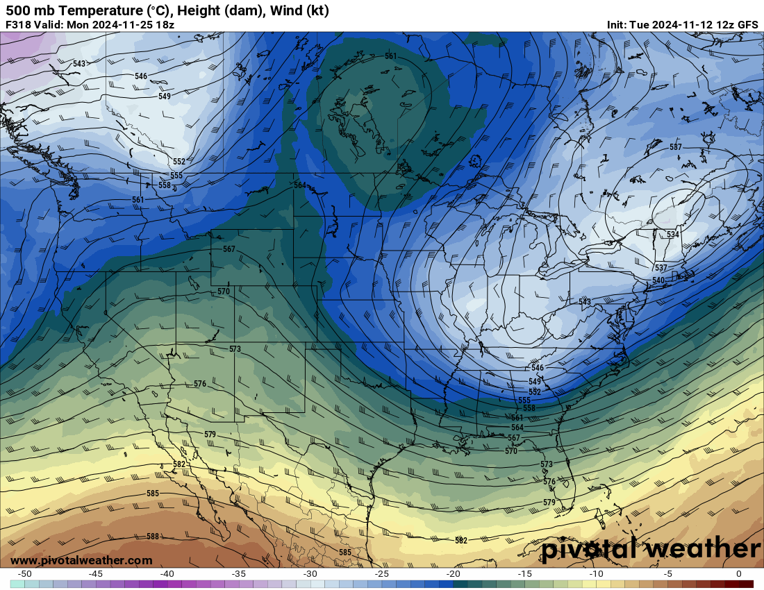
Recent weather models have begun hinting at a significant change in the atmospheric pattern expected for mid-to-late November. This shift suggests the potential arrival of colder air—a notable development considering the relative warmth we’ve experienced so far this season. However, it’s important to temper expectations, as forecasting such a change this far out—2 to 4…

Read More

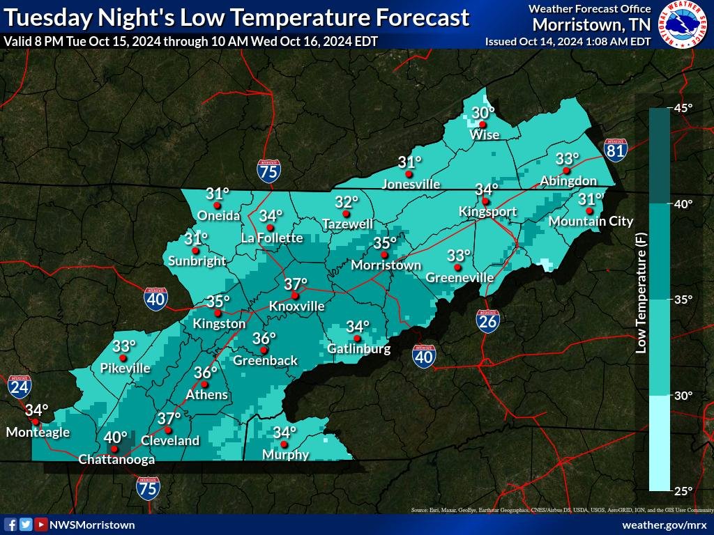
Cold Front Brings Significant Temperature Drop to East Tennessee, Snow to The Highest Peaks.

A sharp change in weather as a strong cold front moves through the region early this week. The cold front will usher in a much colder airmass, dropping daytime highs by 10 to 15 degrees starting Monday. Monday: Clear Skies and Cooler Air Arrive The cold front’s arrival will clear the skies Monday evening, bringing…

Read More