Sorting by

×
Headlines

Blog

ALERT DAY: Strong to Severe Storms Possible Across the Area Sunday Morning

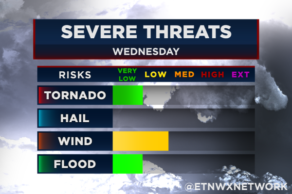
10 PM UPDATE: So far, more shower activity has developed over the valley than originally forecasted, which is currently preventing the atmosphere from building the instability needed for strong storms to form. While the upper-level spin over our area remains in place, storms will need to tap into it for any tornado threat to materialize….

Read More

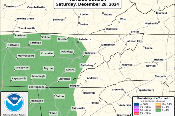
Damaging Winds and Isolated Tornado Risk Area-Wide Saturday Night into Sunday Morning

East Tennessee should look out for the possibility of strong to severe storms late Saturday night into early Sunday morning. While the highest risk is concentrated in the southernmost counties near the Georgia state line—including southeastern Tennessee (SE TN) and southwestern North Carolina (SW NC)—the threat extends to the entire region, including Knoxville and Tri-Cities….

Read More

Warming Trend with Light Rain Chances for Christmas, Uncertainty Beyond

The upcoming week brings a warming trend, thanks to plenty of sunshine and the upper-level pattern. Surface high pressure will keep conditions dry through Christmas Eve, providing a pleasant and precipitation-free lead-up to the holiday. On Christmas Day, a weak trough will move through the region, introducing low chances of light rain. However, this system…

Read More

Light Snow Possible in Upper Valley and Tri-Cities Metro Friday Afternoon into Night

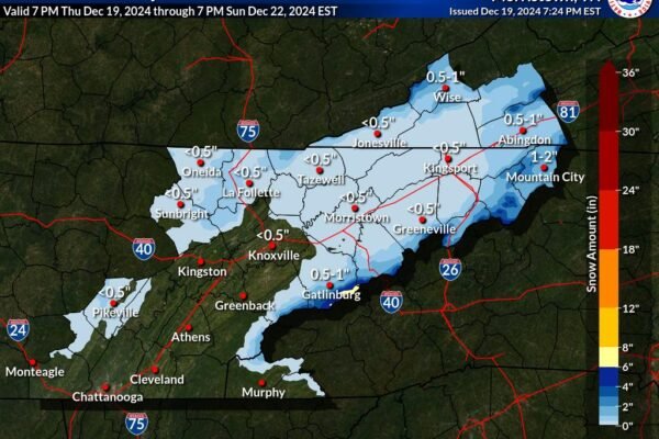
A change in weather is on the way as rain transitions to snow Friday afternoon, bringing light accumulations to the region. Scattered snow showers are expected to continue through Friday night, with most areas on the plateau and lower elevations of northeast Tennessee seeing a dusting to up to half an inch of snow, primarily…

Read More

Snow and Hazardous Conditions Expected Above 2,500 Feet Friday night

Disclaimer: This article has been updated to reflect the latest weather advisory information. Key changes include an updated title to emphasize snow and hazardous conditions above 2,500 feet on Friday night. Additionally, new details on snowfall totals, expected wind speeds, and updated precautionary advice for travelers have been included. A Winter Weather Advisory is in…

Read More

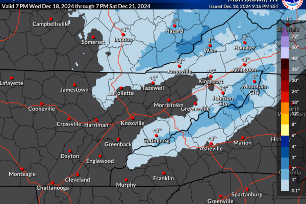
Snow Accumulation Expected Across Higher Elevations Friday & Saturday

A fast-moving shortwave trough combined with a clipper low-pressure system is set to impact the Ohio Valley and Central Appalachians on Friday. As the system moves southeast, it will bring a shift to northwest flow behind a cold front, creating conditions favorable for orographic lift. Timing and Duration The weather system will begin affecting the…

Read More