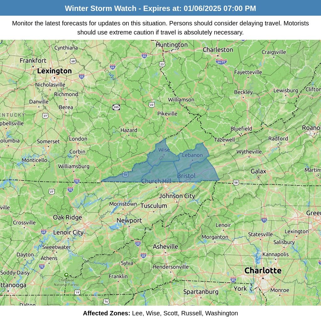
As winter weather looms, forecast models remain uncertain about the exact path of a low-pressure system set to impact the region Monday morning. Recent trends show the system shifting south, increasing concerns about potential icing and snow accumulation, particularly in Southwest Virginia (SWVA) and the surrounding mountains.
Current Forecast Trends
If the southern trend holds, SWVA, the Plateau, and nearby mountains could see more significant icing and snow than initially anticipated. The valley may avoid the brunt of the storm, with a switch to rain likely before other areas. However, even minor changes in the storm’s track could dramatically alter these predictions.
Ice Accumulation Projections by Model
Forecasts vary across major models:
- NAM Total Ice
- Knoxville: 0.04″
- Johnson City: 0.02″
- Crossville: 0.22″
- EURO Total Ice
- Knoxville: 0.02″
- Johnson City: 0.01″
- Crossville: 0.14″
- GFS Total Ice
- Knoxville: 0.20″
- Johnson City: 0.05″
- Crossville: 0.10″
While these totals appear low, even light icing can create hazardous conditions, particularly on untreated roads and backroads. The Tri-Cities area may also experience some impacts. Travelers should prepare for difficult conditions Monday morning, especially in these regions.
Snow and Rain Outlook
- Southwest Virginia and Mountains: Light snow accumulation is possible, especially in higher elevations. Forecasts suggest 1–2 inches for the highest peaks Monday night as a northwest flow sets in.
- Valley: Likely to see mostly rain, with only a light dusting of snow in some areas.
The positive news is that significant snowfall should stay north of the region, reducing the risk of widespread disruptions. However, localized impacts remain a concern.
Additional Weather Risks
- Mountain Wave Event: Gusty winds are expected Sunday night into Monday across higher elevations and foothills, potentially compounding hazardous conditions.
Recommendations
Given the uncertainty of the forecast, caution is advised:
- Avoid travel Monday morning if possible, especially in the Plateau, SWVA.
- Stay tuned for updates on potential school closures and other disruptions.
While winter weather forecasts are notoriously challenging, preparation is key. A small shift in the storm’s track could bring unexpected changes, so staying informed and ready is crucial.
We’ll continue monitoring the situation and provide updates as new information becomes available.


