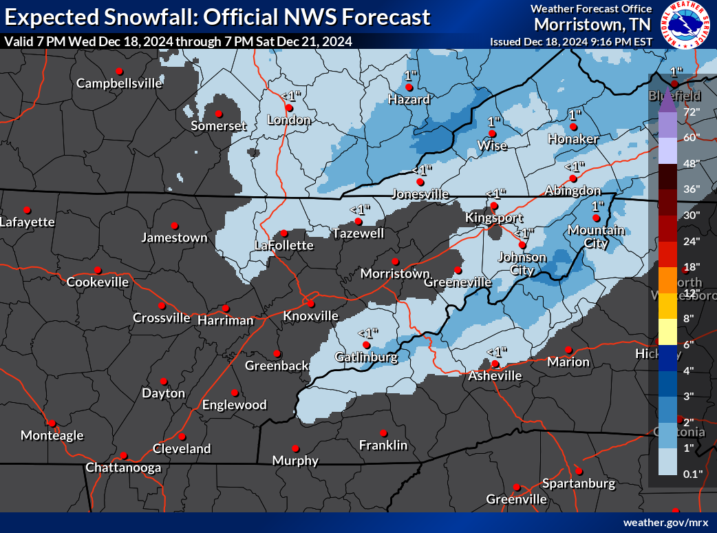
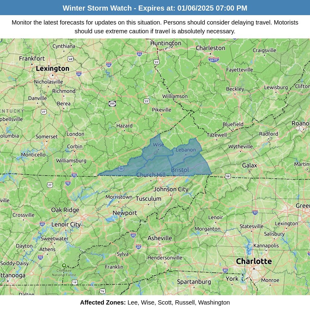
A fast-moving shortwave trough combined with a clipper low-pressure system is set to impact the Ohio Valley and Central Appalachians on Friday. As the system moves southeast, it will bring a shift to northwest flow behind a cold front, creating conditions favorable for orographic lift.
Timing and Duration
The weather system will begin affecting the region on Friday afternoon and continue through Saturday morning. As colder air filters into the region, precipitation will persist, particularly across the higher elevations, where accumulating snowfall is anticipated.
Snowfall Accumulation
We are currently looking at 1 to 3 inches of snow for the higher elevations of the mountains, with some localized areas possibly receiving higher amounts. Lower terrain areas will likely experience a mix of rain and snow, but no significant impacts are expected for valley locations at this time.


