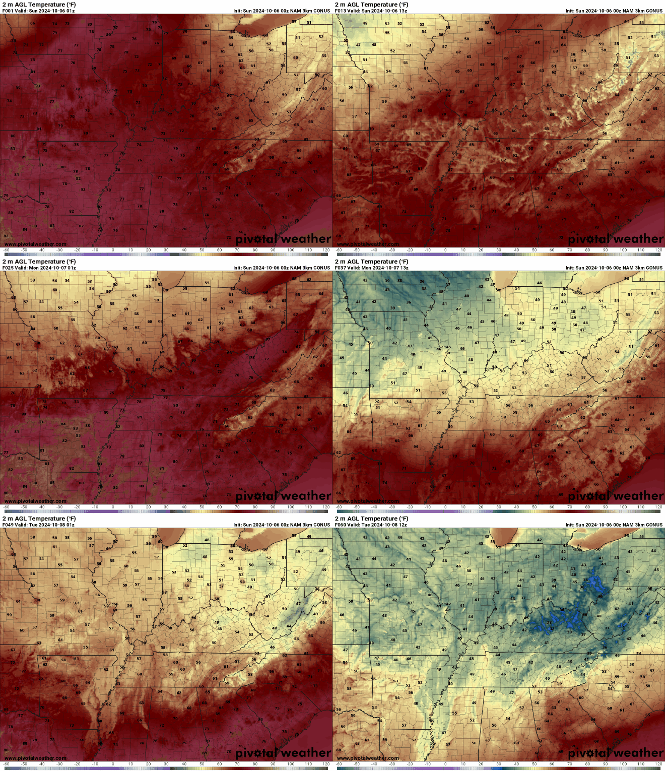
As we enter the start of the extended period, a frontal boundary will begin to push in from the northwest, connected to a northern weather system. Although the strongest dynamics, such as the height falls and upper-level support, will remain well to our north, there will be enough lift and moisture in place to generate low-end rain chances across northeast Tennessee, southwest Virginia, and along the mountains. Despite this, the rain will be very scattered, and many areas are likely to stay dry.
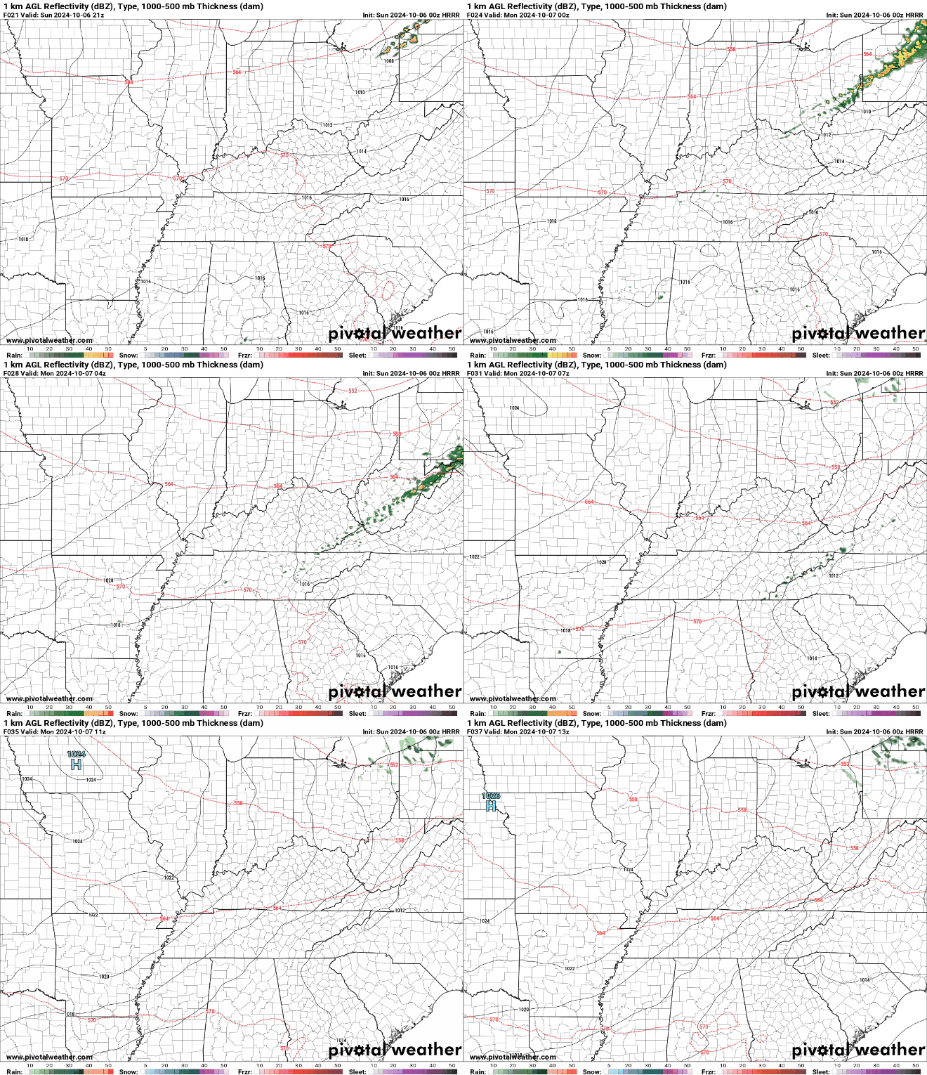
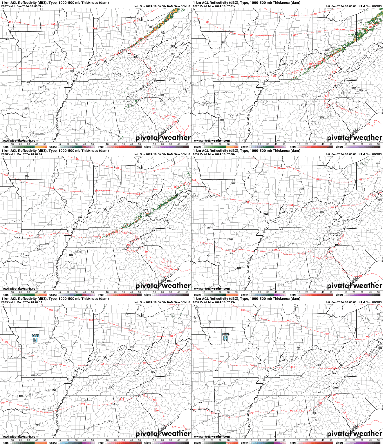
By Monday afternoon, this frontal system is expected to pass through the region, making way for a high-pressure system to expand from the northwest. This transition will usher in northwesterly winds, signaling a cooler and drier weather pattern for the days ahead. As we progress towards mid-week, the upper-level flow will continue from the northwest, while the surface high-pressure system settles in near or just north of our area.
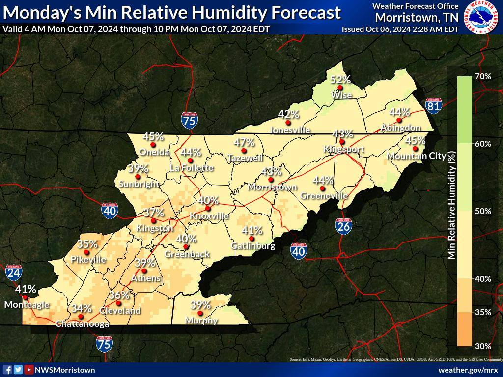
This change will bring daytime temperatures closer to seasonal norms, with highs reaching typical October levels. However, nighttime temperatures could see a more significant drop, potentially falling into the 40s, especially with clear skies promoting radiational cooling. Residents should prepare for cooler evenings and mornings as we move deeper into the week, signaling the arrival of true autumn weather.
